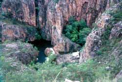
The Jatbula Trail in the Wet
Please be patient while the photos load. Click the photos to see enlarged versions. Click your back button to return to this page. Hold your mouse pointer on the photos to see captions.
This is the walk that began it all back in 1984, our first commercial trip, two years before we began operating as Willis's Walkabouts.
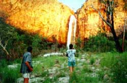
The Jatbula Trail is normally closed to the general public during the wet season, but our permit allows us to show you the trail at its spectacular best.
 |
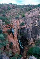 |
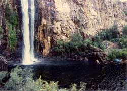
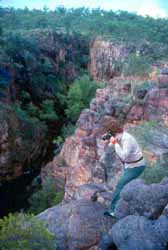
At the left are two views of another unnamed waterfall. The photographer at far left is standing on the cliffs in the far right of the second photo. |
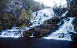
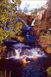
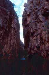
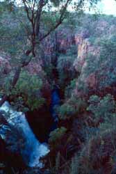
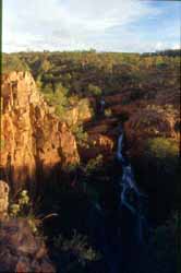
Not far past the waterfall above, we come to Crystal Falls and gorge. The three photos below show three very different views. |
 |
 |
 |
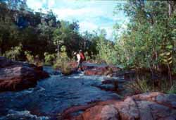 |
Crossing creeks means getting your feet wet. Sometimes you can wade as in the photo at left. Sometimes you have to swim. The best crossing points are not always on the trail. We know where the best crossings are and know when they are safe. |
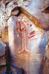
| The best rock art on the walk is found at the Amphitheatre. At right is a photo of one of the paintings and another of the falls which flow only during the Wet. |
 |
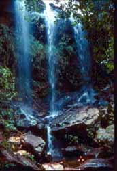 |
| The next major landmark after the Amphitheatre is 17 Mile Falls. Below are two views of the falls taken not long after the one at the top of this page. |
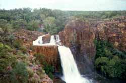 |
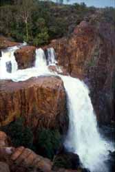 |
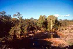 |
The Jatbula Trail goes straight across the top of the falls, not a safe crossing during the Wet. Depending on water levels, we may wade across upstream at the pool shown at left or we may swim across at a deep pool still further up where the water flows more slowly because of the depth. |
| The next section of the trail is the driest, no water at all for most of the year and only small creeks during the Wet. We return to water when we reach the Edith River near the Channels Waterhole shown at right. |
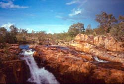 |
| Even the relatively dry country has it's points of interest. The wildflowers are at their best at this time of year. The photos below show a grevillea and a swamp bloodwood. |
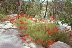 |
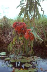 |
| Once we reach the Edith River, we have a choice, either we continue to follow the trail down to Edith Falls or we do a side trip to a wonderful system of waterfalls on nearby Stow Creek. The photo at right shows a small falls on a Stow tributary. As with many of the waterfalls shown on this page, it dries up when the wet season finishes. |
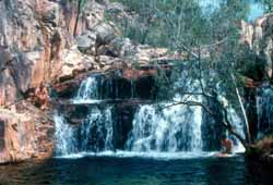 |
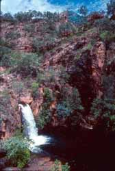 |
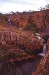 |
The two photos at left show the top and centre falls at Stow Creek. There is a third major waterfalls and a couple of minor drops all in the space of half a kilometre. |
| Back on the Edith River, the area between the Channels Waterhole and Edith Falls is fairly flat and easy going as shown in the photo at left below. Edith Falls itself is rather more spectacular. The second photo shows the first drop. |
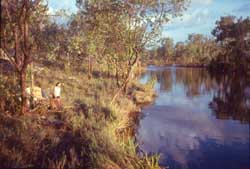 |
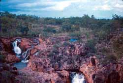 |
| The walk ends at the Edith Falls car park. It's almost disappointing to be back in civilisation after such an experience. |


