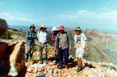
MACDONNELL RANGES
July 6-19, 2008
Click the photos to see enlarged versions. Click your back button to return to this page. Hold your mouse pointer on the photos to see captions.
 |
| |
|
||
MACDONNELL RANGES
July 6-19, 2008
Click the photos to see enlarged versions. Click your back button to return to this page. Hold your mouse pointer on the photos to see captions.
- Two separate walks. Either can be done on its own. Those doing both need to carry their food for only one section at a time.
- The only tour that takes you far beyond the Larapinta Trail and the 4WD tracks deep into the Macdonnell Range wilderness.
- Spectacular scenery. Pools, gorges, spectacular hilltop views and more.
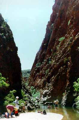
Section 1: Larapinta East & More: July 6-12
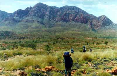
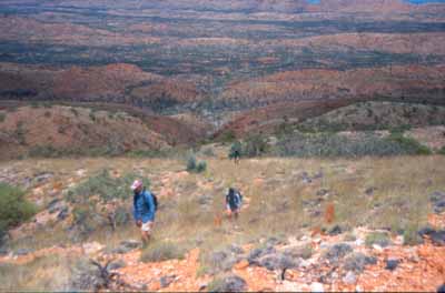
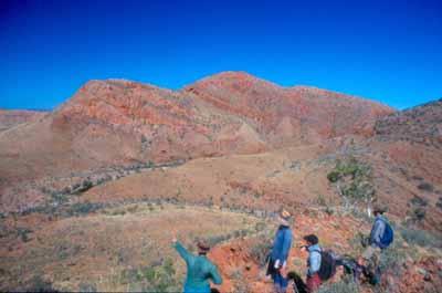
Our walk takes place in the area near Hugh and Spencer Gorges and Brinkley Bluff. We begin with a drive to where we join the Larapinta Trail and start our trek toward Hugh Gorge. By going beyond the trail, we include some spectacular views the trail omits. We then work our way toward Brinkley Bluff for some spectacular hilltop views..
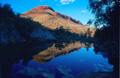
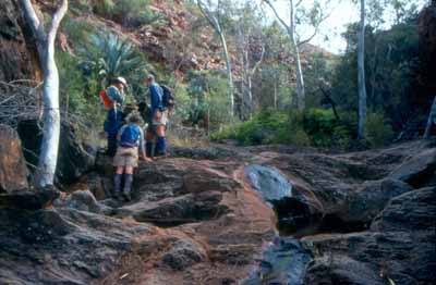
This section includes a choice of several possible routes. This allows us to tailor the walk to the needs and wishes of those who take part. The water will be cold, but the days should be warm so you may want a quick swim.
We finish with a walk to Standley Chasm where we are met by the vehicle which returns us to Alice Springs for lunch and to replenish supplies for the second section.
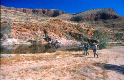
Section 2: Larapinta West & More: July 12-19
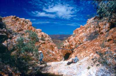
This section will take us even further from the trail as we visit one of the most unusual places in the Macdonnells. We begin at Ormiston Pound, head to Bowmans Gap. Some of the walking is flat and easy. Some is rocky and rough.Along the way, we enjoy many beautiful views and outstanding campsites. We then walk along the edge of the range, stopping to do a day walk to the top of Mount Giles. We camp below a small fern-lined gorge where a permanent creek (the only one we know of in the area) flows gently on its way. We finish with a walk across the Alice Valley to rejoin the Larapinta Trail near Serpentine Chalet where we are met by the vehicle which will return us to Alice Springs.
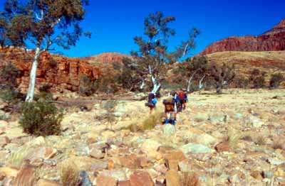
Terrain and difficulty. Both walks include a mix of easy, flat ground, rock hopping and occasional steep climbs. In some areas, the spinifex is likely to be dense enough so that heavy gaiters and long trousers are essential.
We rate this trip as average difficulty.
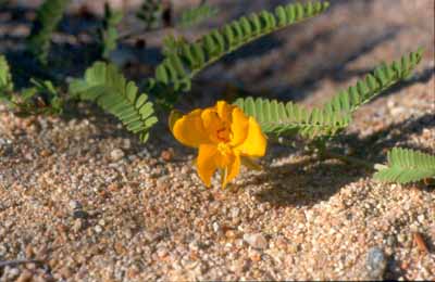
Your rewards are spectacular scenery, wildflowers and an incredible wilderness experience no other operator can offer you.
Click here to see a PDF file of the detailed trip notes.
If you know someone you think would enjoy this trip, please click the link below to send them a link to this page.