The Munja Track

Click the photos to see enlarged versions. Click your back button to return to this page. Hold your mouse pointer on the photos to see captions. Please be patient while the photos load.

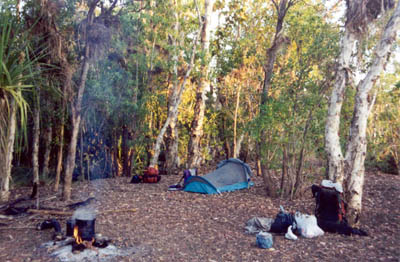
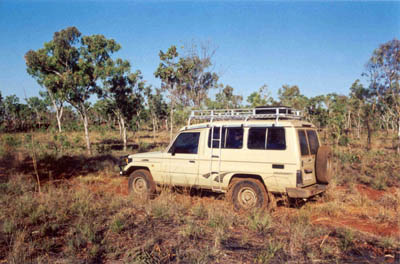
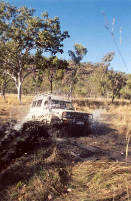
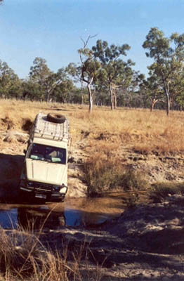
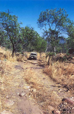
The Munja Track is 220 km long. Some of it is relatively flat and easy, but some of it is incredibly rough and slow. There are numerous creek crossings, some of which are difficult. The following photos give you a taste of what you can expect.
One of the easier stretches along the track Easy creek crossing
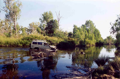
The track goes through a number of relatively boggy areas and does not normally become passable until July.
This was the boggiest patch we encountered Steep descent into creek crossing Typical section of the track
With a track like this, it is inevitable that you will have to camp next to the track on every trip which uses it. The photo at the right shows one of these campsites. Campsite next to the track
Travelling the Munja Track is an experience not to be missed. Travelling it twice on one trip seems excessive so all our trips are scheduled to fly in or out.

Click here to return to the main Charnley-Munja page.

Click here to return to the gallery page if you want to see photos of the Munja Track and the land it passes through.