| Bachsten Falls, shown at right, is a short walk from the Bachsten campground. Few people go past it to explore the gorge below or the other branch of Bachsten Creek. |
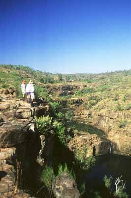 |
| Our walk begins by following a moderately well defined track to the bottom of Bachsten Falls, then following the creek downstream before crossing a low pass to get to a lovely gorge on the other branch of Bachsten Creek. | |
 |
 |
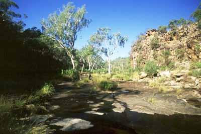
| Just past the right photo above, we climb out of the gorge and walk across to the top of a lovely waterfall. This saves time and avoids a pack float. We camp above the falls and explore both upstream and down. | |
|
|
 |
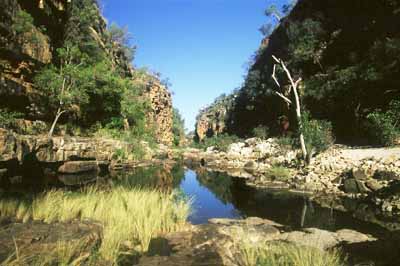
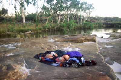
| On our last visit, the weather was perfect and there were so few insects that some people decided to sleep in the open. | |
 |
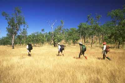 |
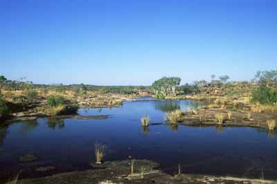
| The walk between the two branches of Bachsten Creek is fairly easy as shown right above. A few hours after leaving the north branch, we are back at our vehicles ready to continue to the next walk. |
Click here to go to the page describing our Munja Explorer trip.
Click here to return to the main Charnley-Munja page.
Click here to return to the gallery page if you want to see more photos of the Munja Track area.