MITCHELL PLATEAU
 The
variety of ecosystems present in a relatively small area makes
this one of the most ecologically important areas in northern
Australia. The scenery includes everything from open woodland and
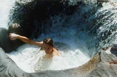
broad river valleys to deep gorges and spectacular waterfalls.
Aboriginal art sites are exceptionally plentiful, perhaps a
reflection of the diverse habitats and abundant natural food
supplies.
Although all our Mitchell Plateau trips have certain parts in common, seasonal changes mean they all include different things. Trips from May through July include a helicopter flight to the 100 m Donkins Falls and a walk back to the Mitchell River.
If you would like to get a better idea of what our Mitchell Plateau trips are like, please click onto one or more of the photo galleries below. Please be patient while the photos load.
Click here to go to our Lower Mitchell and Western Gorge Gallery. This is the best known of the areas we walk on the Mitchell Plateau.
Click here to go to our Donkins Creek Gallery. In some ways this is even more spectacular than the better known area around Mitchell Falls.
Click here to go to our Camp Creek, Upper Mitchell River and Route to Donkins Gallery. This is another wonderful but little known area.
Want to know more about a specific trip?
Click here to go to our Kimberley trip list. We offer four different Mitchell Plateau trips each year. Click on the one that interests you for more information about that trip.
Other Kimberley areas
Kimberley Coast
Isdell River
Drysdale River
Carr Boyd Range
Keep River National Park
Gibb River Road Gorges
Cockburn Range
Ord River
Bungle Bungles
Charnley River and the Munja Track
